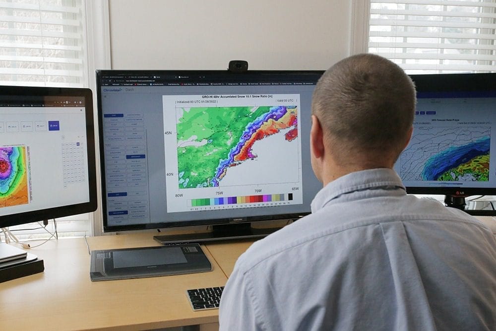
GRO FORECASTING
UNPARALLELED SCIENCE, UNAVAILABLE ANYWHERE ELSE
Our new approach to forecasting fills observational legacy gaps. Access to low-earth orbiting GPS-RO satellites offers global visibility and clarity. Coupled with our cutting-edge technology, we can forecast the growth of major storm systems or big atmospheric changes with precision and speed.
FASTER, MORE ACCURATE FORECASTING – AS ONLY CLIMAVISION CAN DO
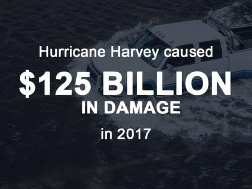
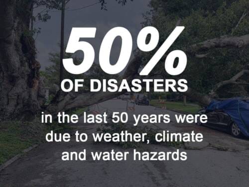
Climate change represents the largest threat to the well-being of life, industry, and governments around the planet. These significant changes in weather patterns, severity, and events mandate prioritized and improved weather and climate observations. Significant gaps in current forecasting methods require new thinking and new approaches.
At Climavision, we’ve attacked the challenge by filling gaps with unique and proprietary observational data from our weather radar network and GPS-RO data access. This novel data set allows our GRO model to outperforms any gives us the ability to track storms as they form over the ocean and move across land with more precision than ever before.
PRODUCT Features
- Up to 6 Cycles per day
- Raw gridded outputs
- 128 vertical levels
- GRIB2 Data Native
- 15-Day forecast range in 60 Minute time Steps
- Flexible timing & frequency of delivery
PRODUCT Benefits
- More accurate forecasts of day-to-day weather
- More accurate forecasts of upper-level winds in the short and medium range
- More accurate predictions of heavy-precipitation events
- More accurate hurricane forecasts with longer lead times
- Increased weather data collection over observation sparse areas, such as oceans
- Improved space weather forecasts

GRO MODEL
CLIMAVISION’S UNPRECEDENTED PREDICTIVE SOLUTION
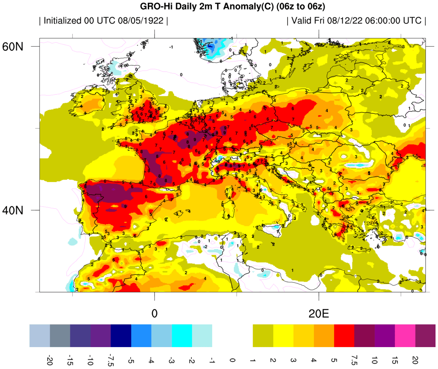
Climavision’s GRO forecasts are built by combining two key aspects: gap filling GPS Radio Occultation (GPS-RO) satellite and other high resolution global observations with a proprietary Numeric Weather Prediction (NWP) model. The GPS RO data fuel’s Climavision’s unprecedented NWP to produce more accurate forecasts, faster. Armed with new-to-the-market GRO data, businesses can make better informed decisions that save lives, protect critical infrastructure, and improve financial outcomes.
THE GPS-RO DATA ADVANTAGE
A NEW WEATHER VIEW
Our GRO Model’s key input comes from proprietary, low earth orbiting GPS Radio Occultation data (GPS-RO) satellites. Originally developed for exploring other planets, these satellites help create a more accurate profile of our own atmosphere, particularly where weather observations are sparse, such as over the ocean. This level of visibility paints a more complete weather picture.
BETTER VIEWS. BETTER MODELING. EXCEPTIONAL FORECASTS.
Climavision’s access to the GPS-RO network of satellites generates exceptionally accurate observational profiles. This view from space has demonstrated significant improvements when properly assimilated into weather and climate modeling as well as space weather prediction.
UNPARALLELED EXPERTS IN DATA ASSIMILATION
OUR DATA CUSTOMIZED TO PERFECTLY FIT YOUR NEEDS.
Climavision’s robust modeling and compute environment brings a highly differentiated approach to the industry – leveraging sophisticated techniques:
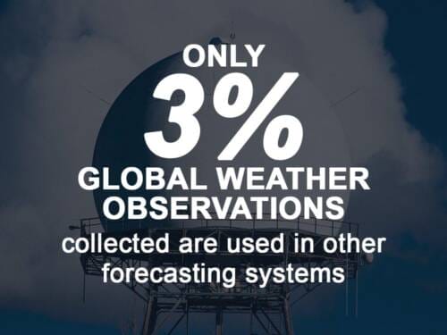
- New AI techniques have increased the data yield on the 3.5 billion global weather observations collected each day to drastically improve our forecast accuracy.
- Optimized cloud resources, data and compute bursts are scaled-out to meet the custom variability needs in size, frequency, visibility and forecast parameters.
- Our approach and architecture allow us to easily customize outputs for specific customer needs in API form for integration into internal systems, or in a map-based UI.

WE’RE REVOLUTIONIZING THE WEATHER INDUSTRY
Our extensive weather data and revolutionary, proprietary climate technologies identify real-time dangers and produce more accurate predictions and forecasting models.
Learn More About What Makes Us Different
Radar Network
First of its kind, proprietary, high-resolution, low-atmosphere radar network
Advanced Modeling
Advanced numeric weather prediction modelling with unprecedented processing speeds
Satellite Network
High resolution, global observational datasets for advanced weather forecasting
Technical Expertise
Unparalleled technical expertise across infrastructure and weather forecast information
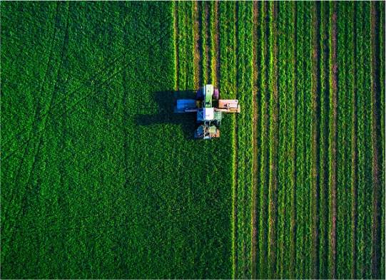
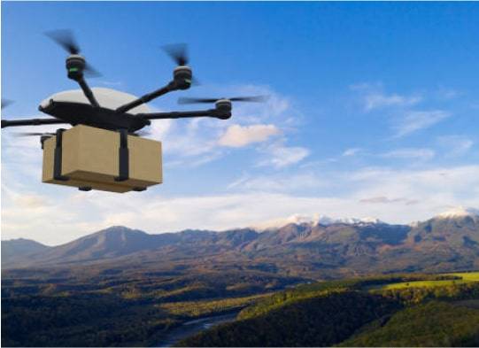
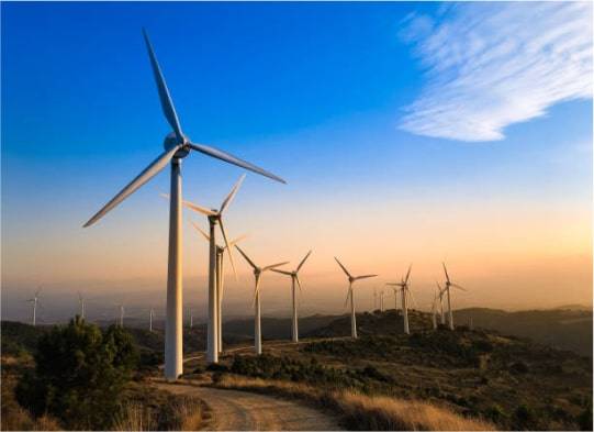
Industries
Seize the CLIMAVISION Advantage
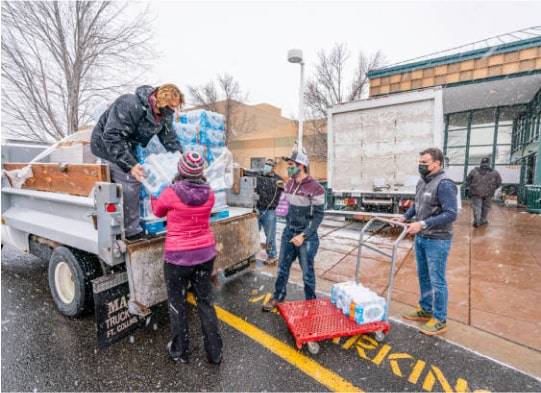
The increasing frequency of catastrophic weather events calls for new solutions to mitigate risk, protect property, and save lives. Our proprietary scanning and forecasting technologies deliver faster, more accurate weather insight, leading to more confident decision making in critical situations.