![]()
Groundbreaking Technology
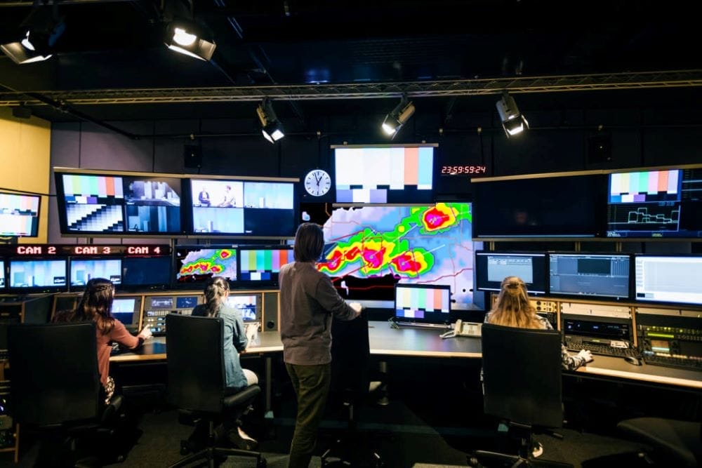
Dalton AI operates on a cloud-based infrastructure ensuring uptime and stability. Machine learning allows the platform to respond and adjust to specific weather conditions in real-time.

Increasing weather extremes call for a totally different approach to numerical weather prediction. With our radar network, space-based data, advanced quality control, and cloud-based tech platform, we’re gathering more unique observations and using a higher percentage of the existing global observations than ever before.
For people, communities, and businesses this means faster, more accurate forecasts. For weather professionals, it means you can finally see what you’ve been missing.
Fantastic things can often rise out of challenging situations. The negative impacts of climate change mandate fresh solutions to help communities and businesses mitigate risk and make better long-term decisions. But we weren’t seeing them.
We grew frustrated with much of the industry utilizing the same modeling approaches, integrating commodity weather data, and running models on the same hardware. The resulting forecasts, not surprisingly, featured relatively few points of differentiation and not enough lead time in these changing times.
At Climavision, we gathered a team of industry experts and stepped out of the box to build a new modeling approach and acquire new and differentiated datasets to produce a unique, more accurate weather forecast in a shorter timeframe.
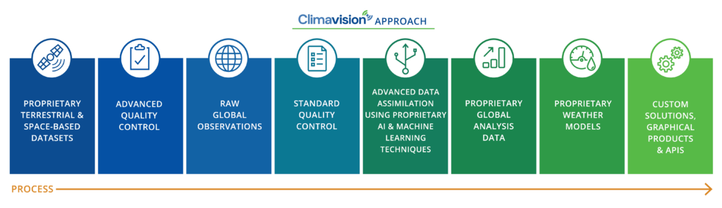
With our supplemental radar network and access to high quality radio occultation data, we deliver global coverage of unbiased data with the highest resolution and geographical granularity. We fill the gaps in the NEXRAD network and the atmosphere to deliver the most accurate forecasts.
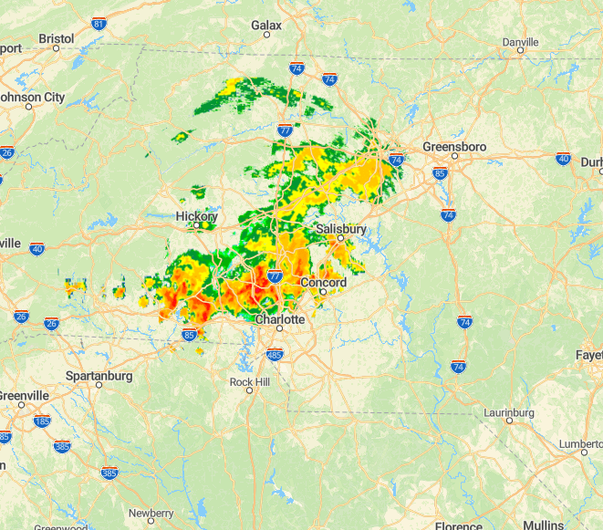
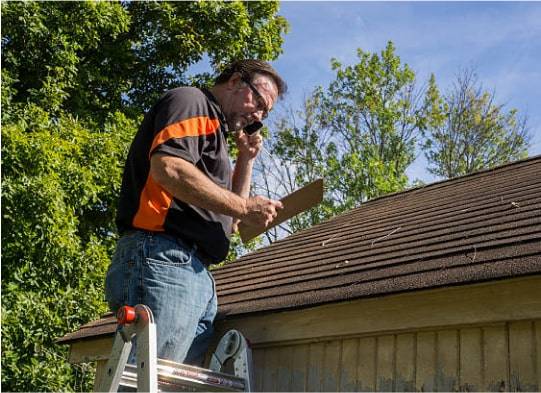
Gaps in weather observations have challenged forecasters for decades. Climavision is filling over 200 gaps in the US with a solid-state weather radar network, designed specifically to address the gap issue. No single private company has ever deployed this many Dual-Pol High-Res radars before. When complete, the Climavision network will provide critical visibility in real-time to help prepare during an event and will also help improve and refine models for longer lead times before disaster strikes.
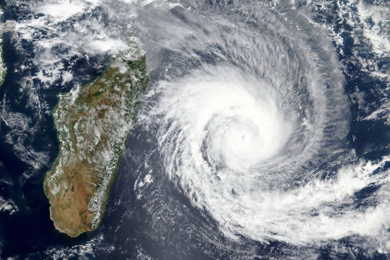
Our GPS-RO satellite data from the upper troposphere and low earth orbit (LEO) provides real-time global observations. The same technology that has been used to explore other planets for decades is now being repurposed as an effective technique to give us a clearer picture of our own atmosphere especially in areas, as over oceans, where coverage has been lacking.
We produce the most accurate weather models for making critical strategic and tactical decisions for businesses, researchers, and public service agencies. Combining these models with our advanced technology delivers faster, more accurate forecasts across the board.
According to the United Nations, climate-related disasters went up 83% and caused nearly $3 trillion dollars in losses worldwide over the last 20 years. These extreme changes make relying on previous weather patterns unreliable. We keep pace with more volatile weather conditions with our advanced Numerical Weather Prediction Modeling that outpaces all others in accuracy.
We know that just collecting data isn’t enough. We built Dalton AI to realize the full benefits of high-integrity data so we can produce the best possible forecast models. The platform is built for speed and efficiency. The more data we input, the better it gets.
![]()
Dalton AI operates on a cloud-based infrastructure ensuring uptime and stability. Machine learning allows the platform to respond and adjust to specific weather conditions in real-time.
![]()
Built-in AI ensures faster, more accurate data and intelligent insights giving you the competitive edge.
![]()
Dalton AI deployment is rapid, efficient, and cost-effective so data effortlessly folds into existing workflows and minimizes downtime for your existing data feeds.
![]()
Our APIs help you make informed decisions and derive insights while presenting visualizations through seamless integrations with your existing platforms.
![]()
Our advanced computer processing alleviates the burden from our clients and speeds up precision forecasting.
![]()
Dalton AI creates an image of our proprietary data through an intuitive user interface and over high-resolution, interactive graphics.
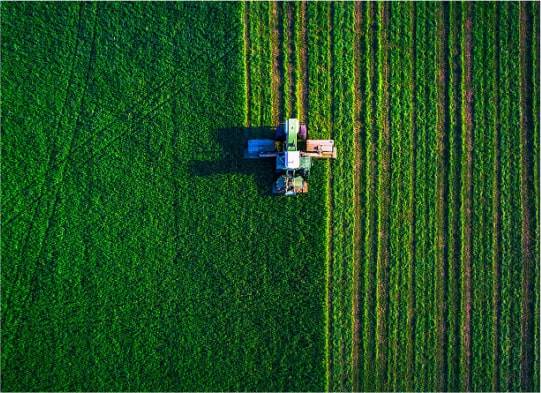
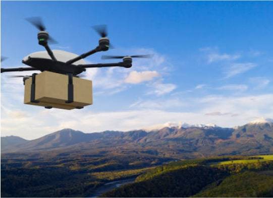
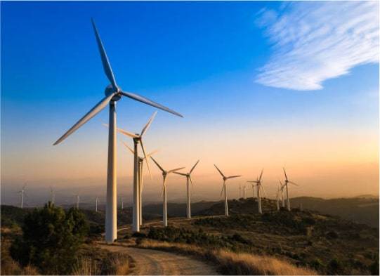
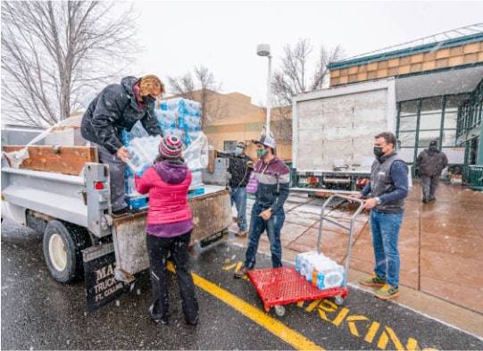
Every person, business, and community around the globe is impacted by severe weather. We offer a solution to mitigate risk, protect property, and most importantly, save lives. We support just about every industry. Don’t see your industry below? Drop us a line. We’re here to help.